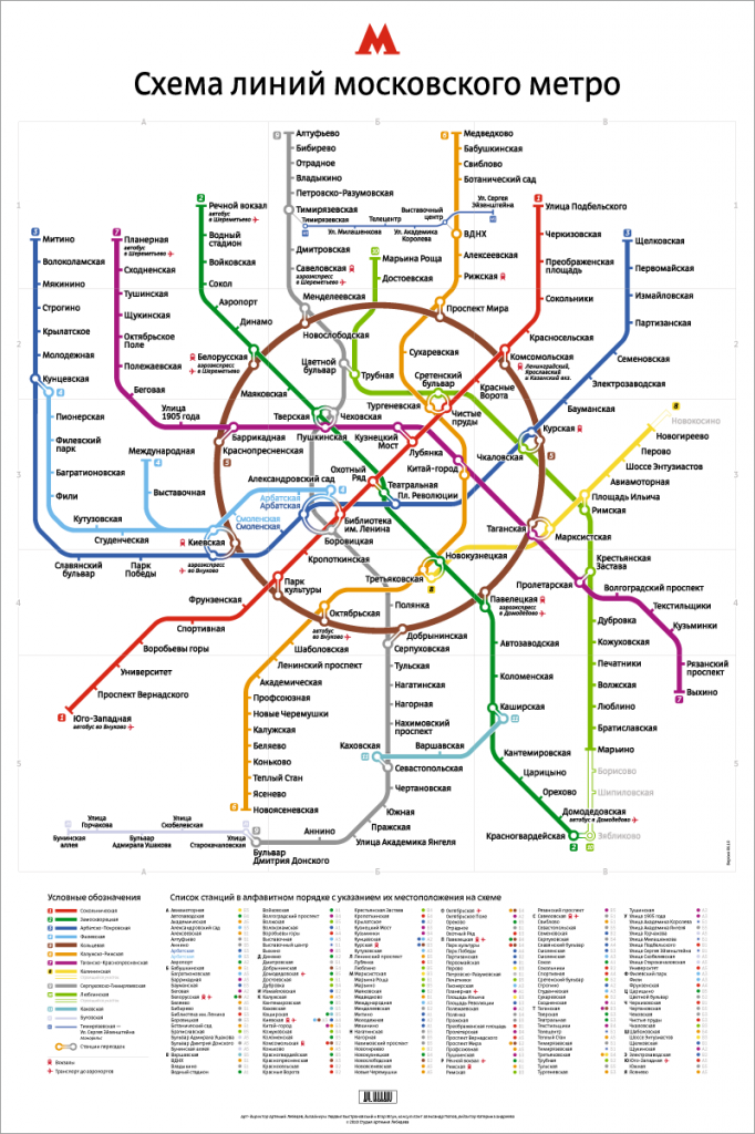
The inimitable Art. Lebedev Studios have done a beautiful job of redesigning the Moscow Metro map:
Tag Archives: maps
100 years of NYC subway ridership
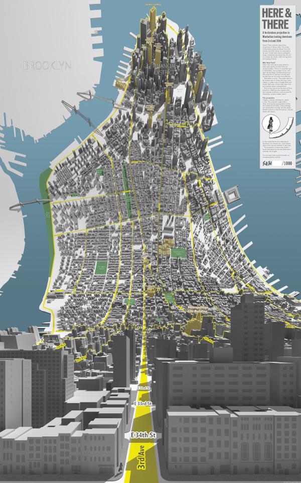
Here and there: Horizonless projections of Manhattan
Another genetic map
Another genetic map of Europe. It won’t be long before we can pinpoint a person’s ancestry down to an individual village using science like this.
More fuzzy neighborhoods
Flickr uses Where-On-Earth IDs to map percieved boundaries of neighborhoods and other regions — much like my Neighborhood Project does with Craigslist data, using Alpha shapes instead of blobbies — and raises the same questions about collective intelligence. (via Michael)
All your neighborhood are belong to us
A mapmaking firm is suing to keep your neighborhood boundaries out of the public domain.
Noe Valley bloggers wonder where their neighborhood is, exactly… they should check The Neighborhood Project.
San Francisco Walkability and other infographics
This map of San Francisco’s “Walkability” by Lee Byron uses a similar blobby algorithm to The Neighborhood Project.
I want one of his Centerclocks for my wall. He’s also got a nifty Rivers of the World map, and he’s the guy behind the NY Times’ Olympic Medals Cartogram and Presidential Polling graphic (which thankfully shows Obama in the lead in a majority of the polls).

